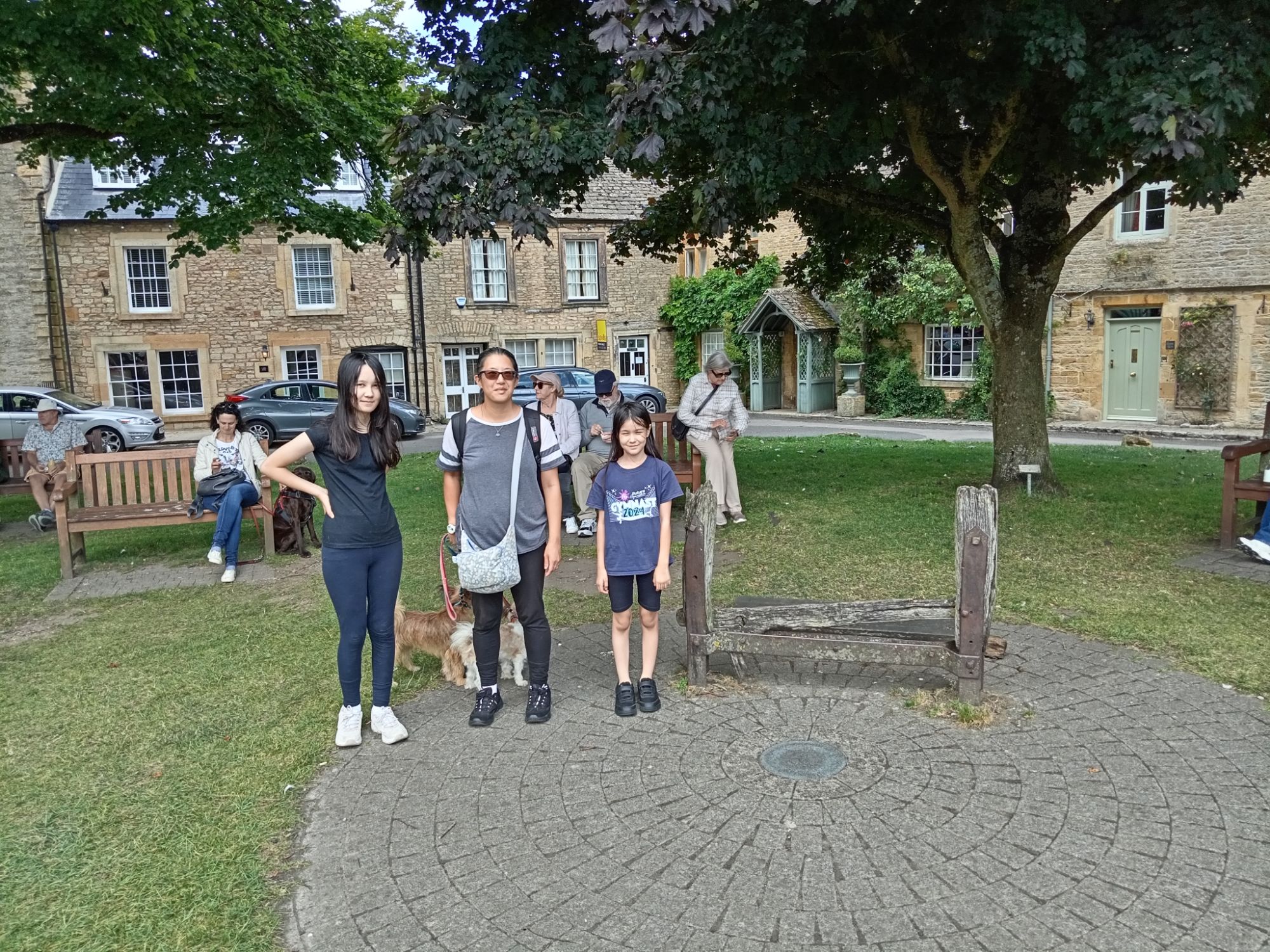
Yesterday (29.8.2024), we travelled from Sutton (South-West London) to Stow-on-the-Wold (Gloucestershire) to seek-out an old Spring. I was born in Oxford in 1967 (the “Summer of Love”) – but my parents moved to “Stow-on-the-Wold” and lived there between 1968-1969. During that time, we lived in an attic flat above Manor House Antiques (“Tara’s Antiques” today) just opposite the Police Station – which still seems to be functioning. This flat faced onto the Square within which what is left of the “Stocks” still stands. We parked in a local Tesco Car-Park situated to the North of the Square and walked Southward into the Square – entering with the old Police Station on our right. St Eduard Church was further inside the Square (past the “Stocks”) with its altar facing “East” (as with all Christian Churches). The door of this Church (pictured below) is said to have inspired JRR Tolkien when he wrote and designed his “Lord of the Rings” epic novel!

When an individual was found guilty of some petty offence – they were sentenced to a number of days and nights in the Town “Stocks” held by the wrists, ankles and neck – whilst passers-by were permitted to strike them with kicks, punches and any object to hand (providing disfigurement and death was avoided) and threw rotten food and excrement if any were at hand! I have read that what is now the local Police Station used to be the local Court House – and it was here that individuals were sentenced by the local gentry (who acted as “Magistrates”) to the “Stocks” in the days when local justice prevailed. Most of this structure is now missing – with two vertical posts (about three-feet high) still being in situé:


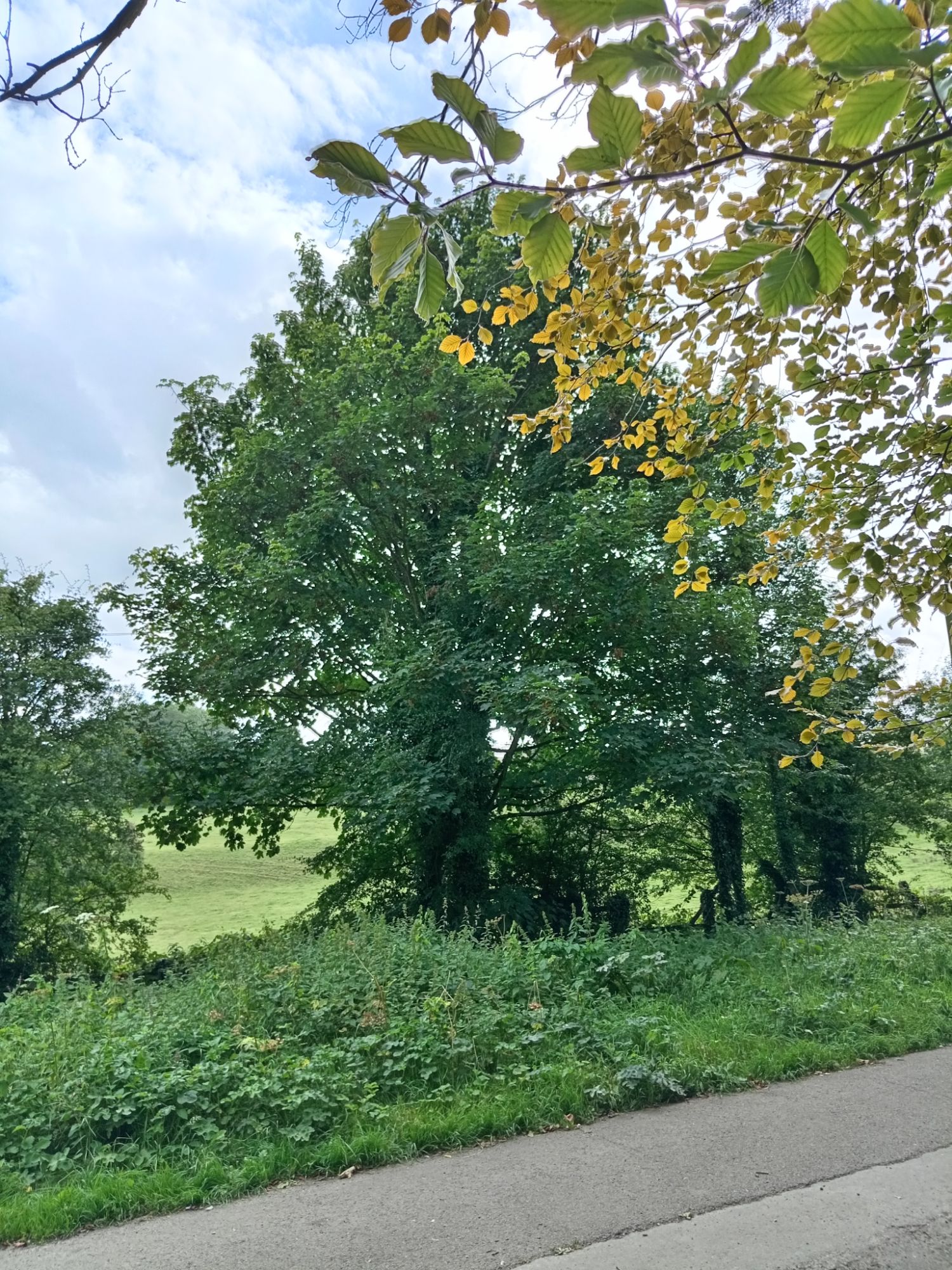
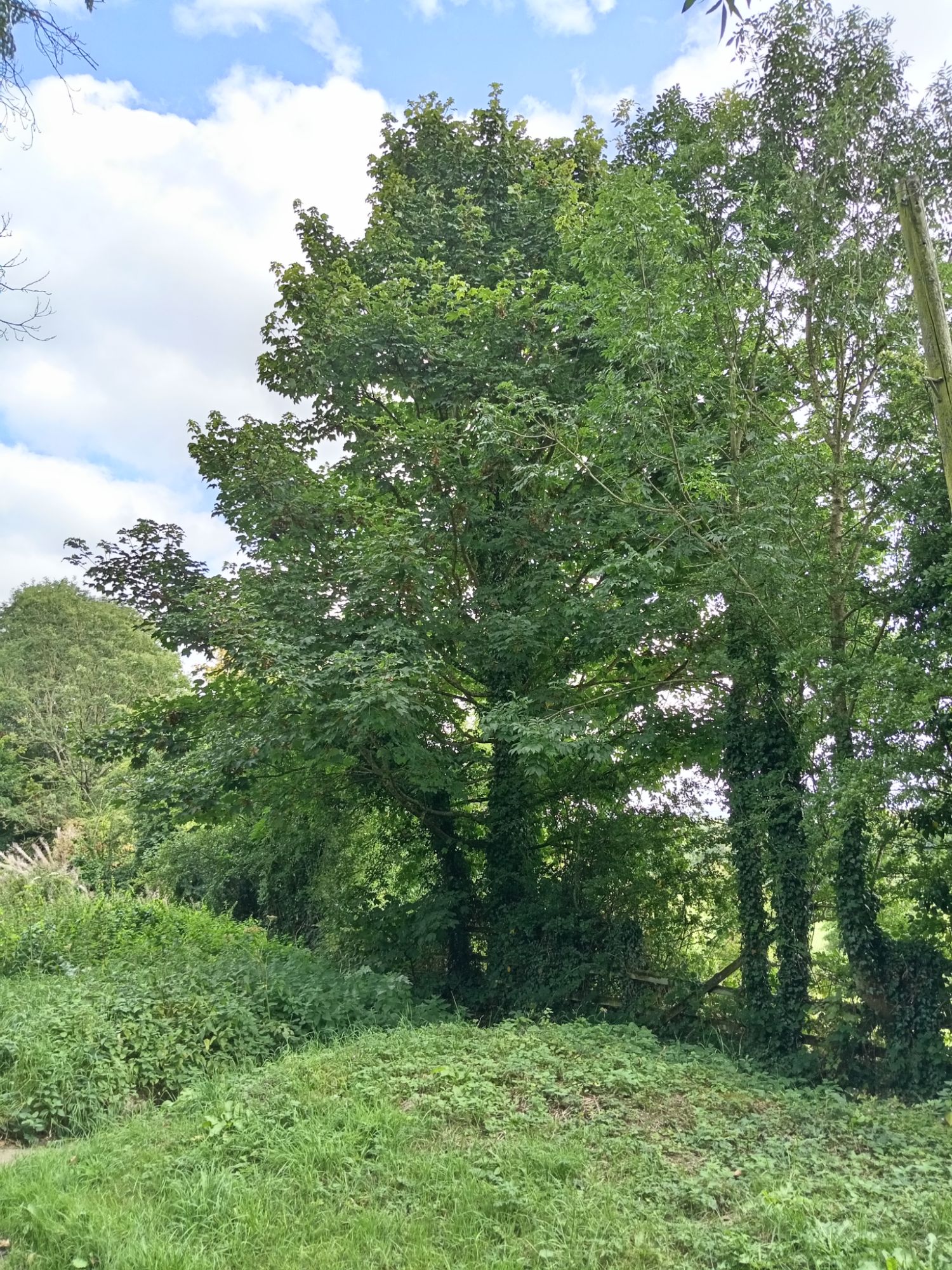
Around 1969 – when I was about two-years old – my father (Peter Wyles) photographed my mother (Diane Wyles) sat with myself (Adrian Wyles) at a foot of a tree situated opposite “The Wells” in Stow-on-the-Wold! Apparently, my mother also photographed myself with my father sat in the same spot – but I am still searching for this picture (which does exist). Although there is a tree on this same spot today – looking at the root of the original – I do not think it is the same tree:


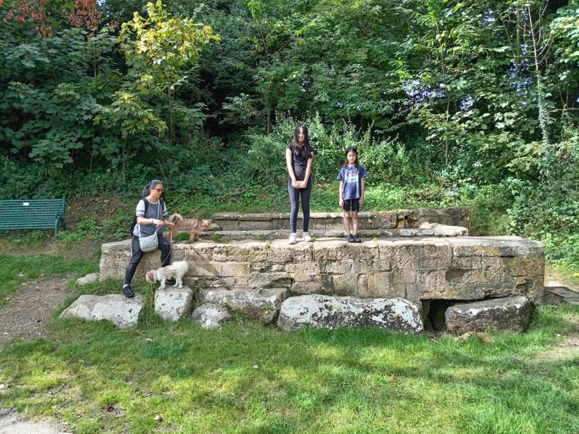
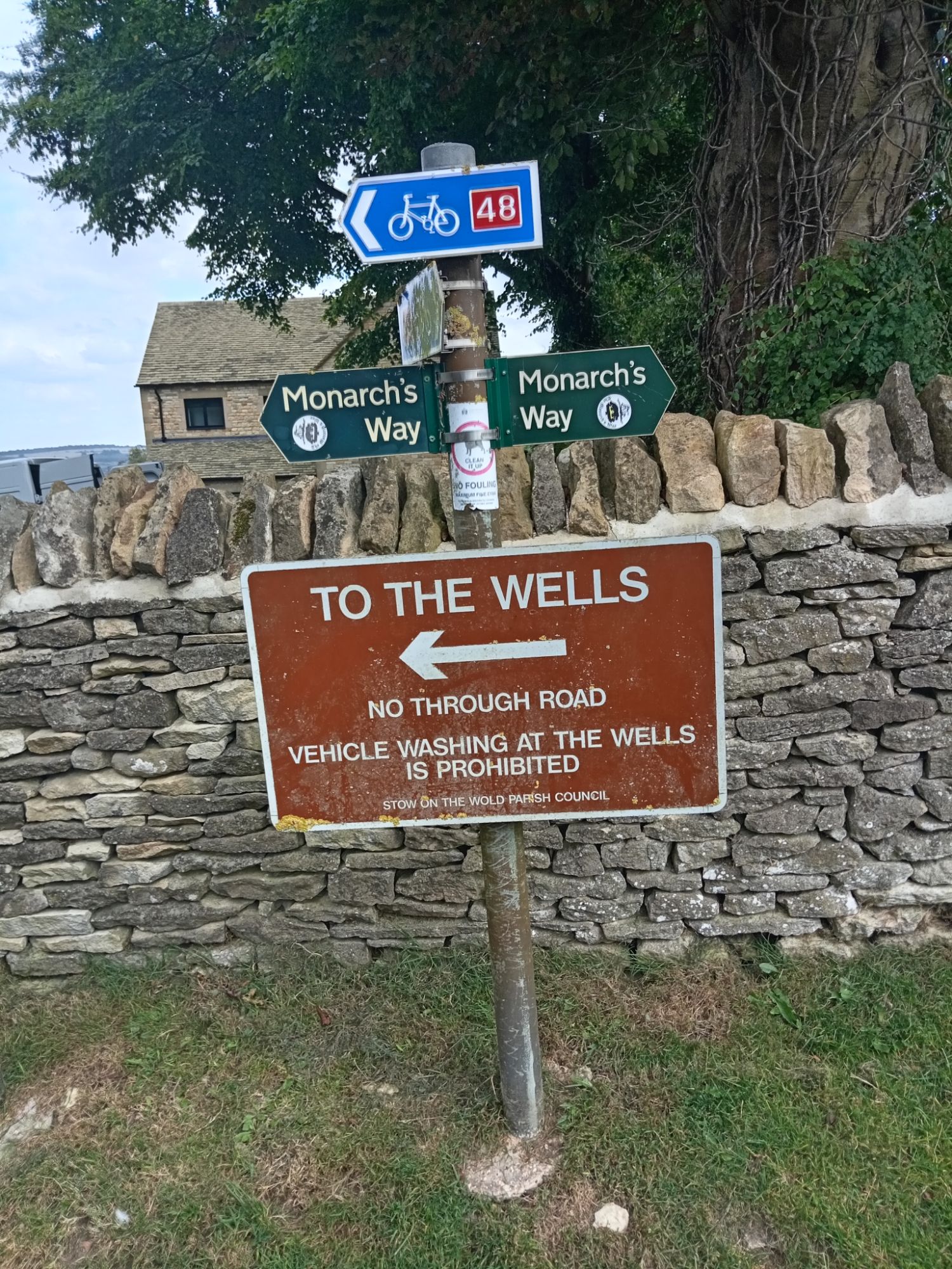
I am still researching for reliable academic historical references regarding this structure, its date of origin, and its intended purpose and function. What is available online appears to be confusing this unprotected structure with a Grade II-listed building entitled “St Eduard’s Well” (also known as “Lady’s Well”) – which exists a the other side of the Square next to St Eduard’s Church. The “Stow Well” – featured here – is situated North-East of the Square about half a mile’s walk down Well Lane from the Police Station (via “Parson’s Corner”). Obviously, this historical structure is nowhere near St Eduard’s Church. The “Stow Well” is a large trough-like structure – similar to a small (stout) swimming-pool. Although I cannot be sure – the few steps leading-up to the water suggests some type of spiritual function:
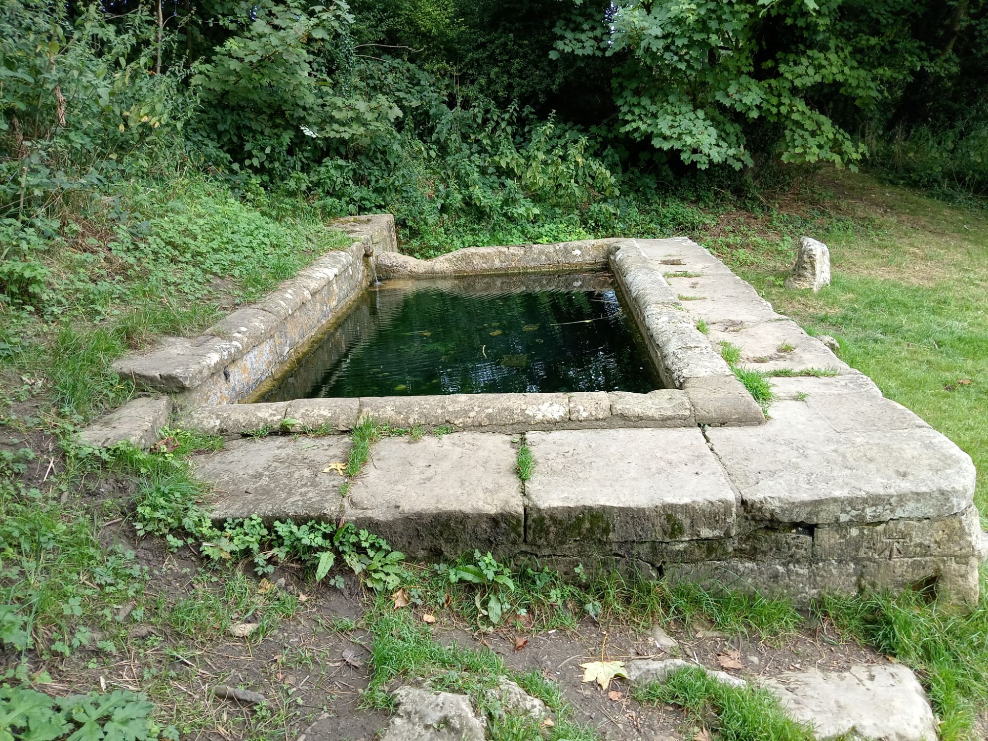

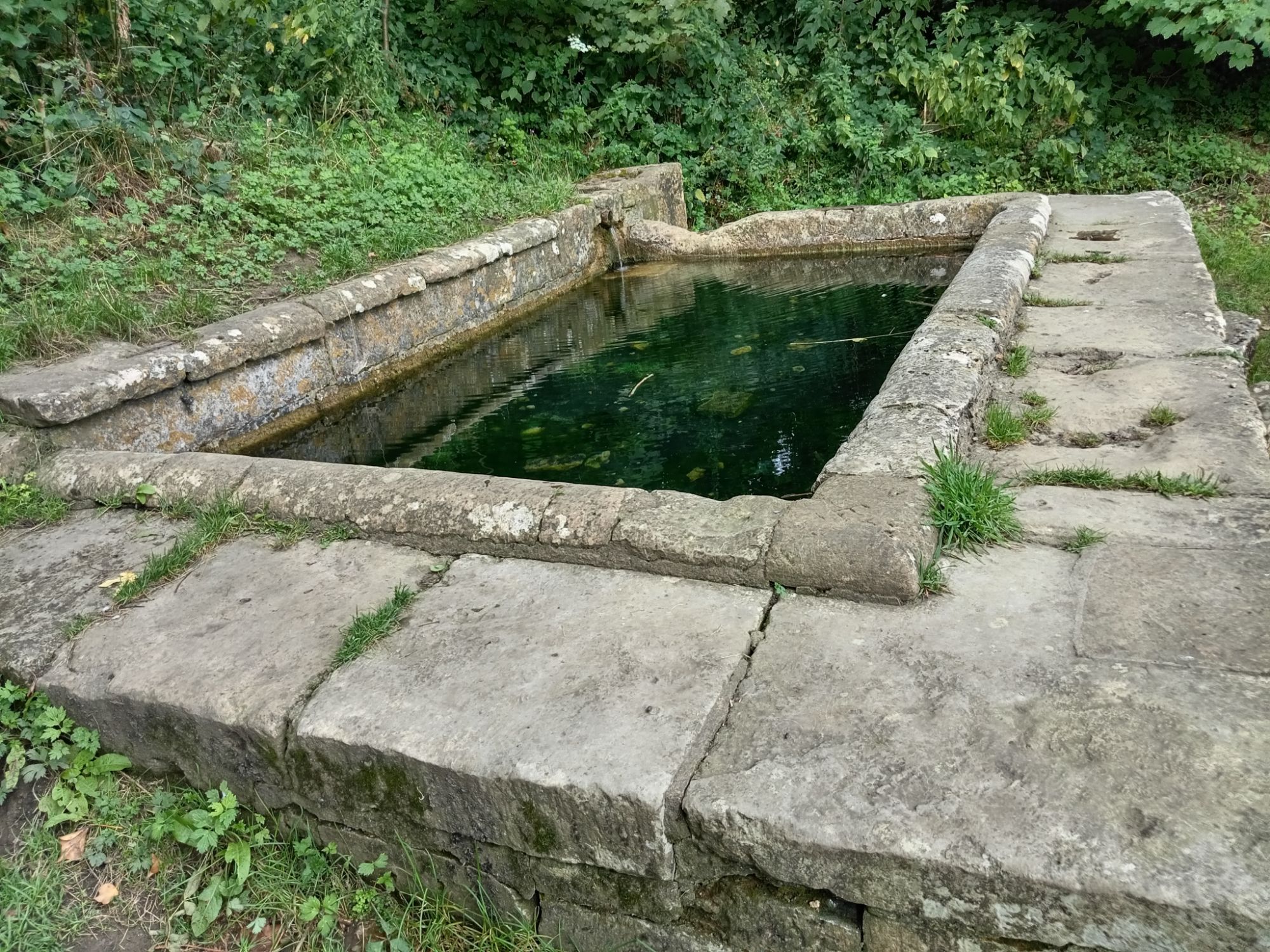
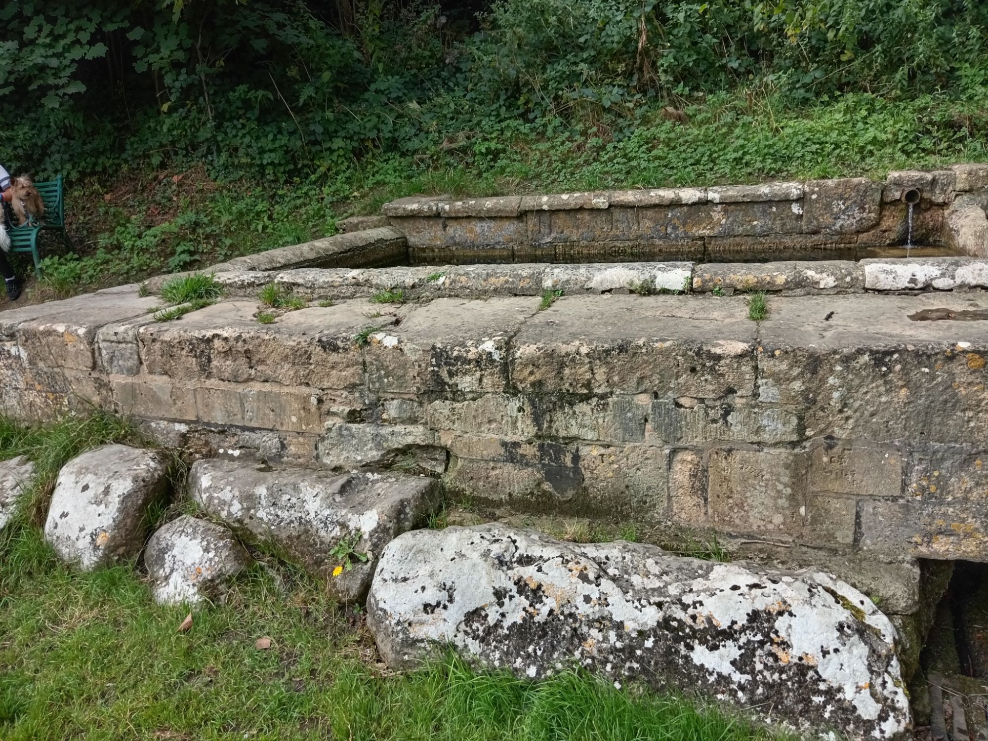
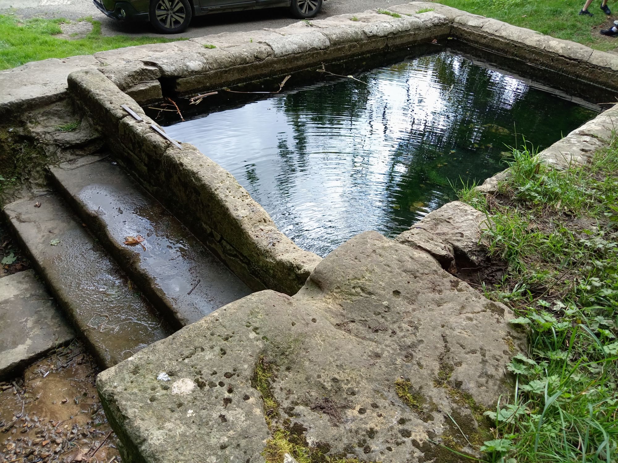

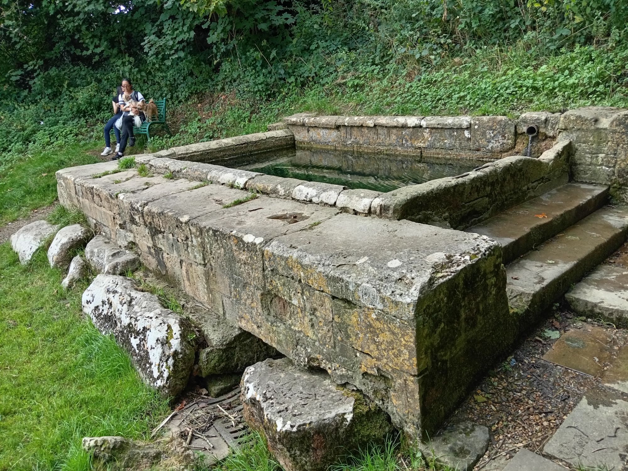
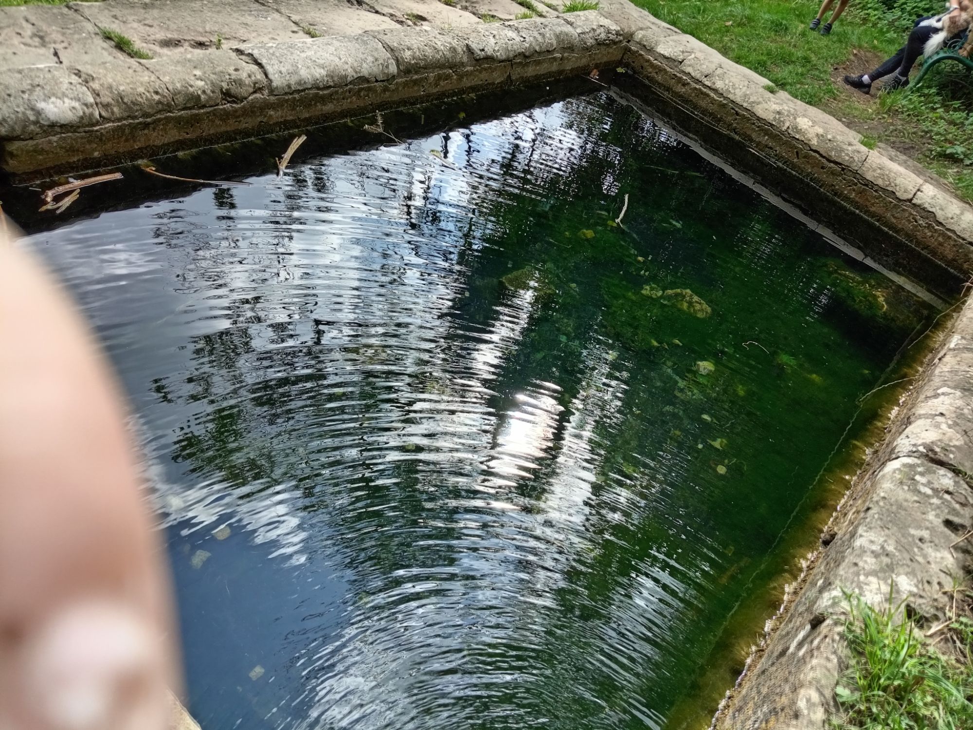
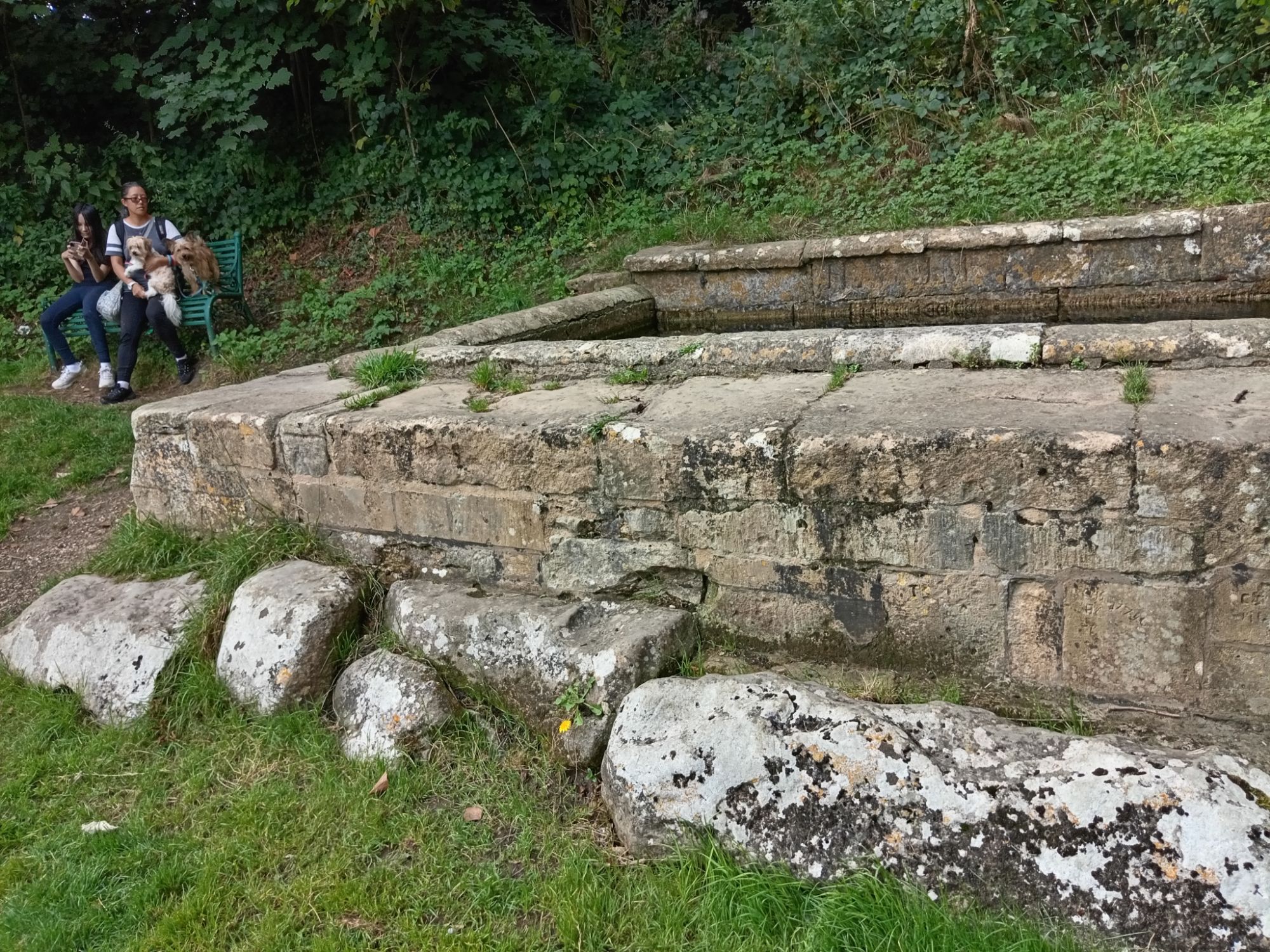
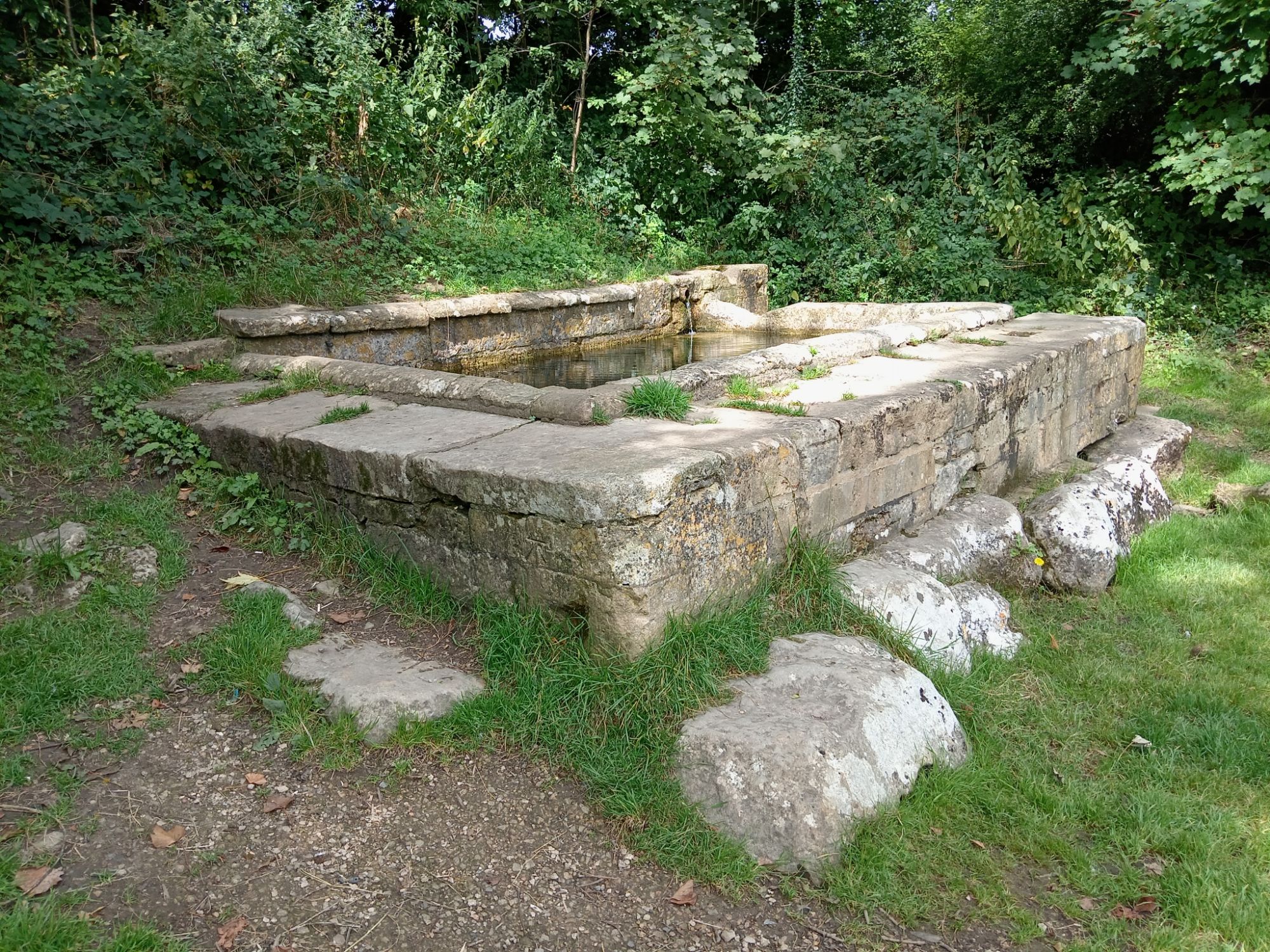


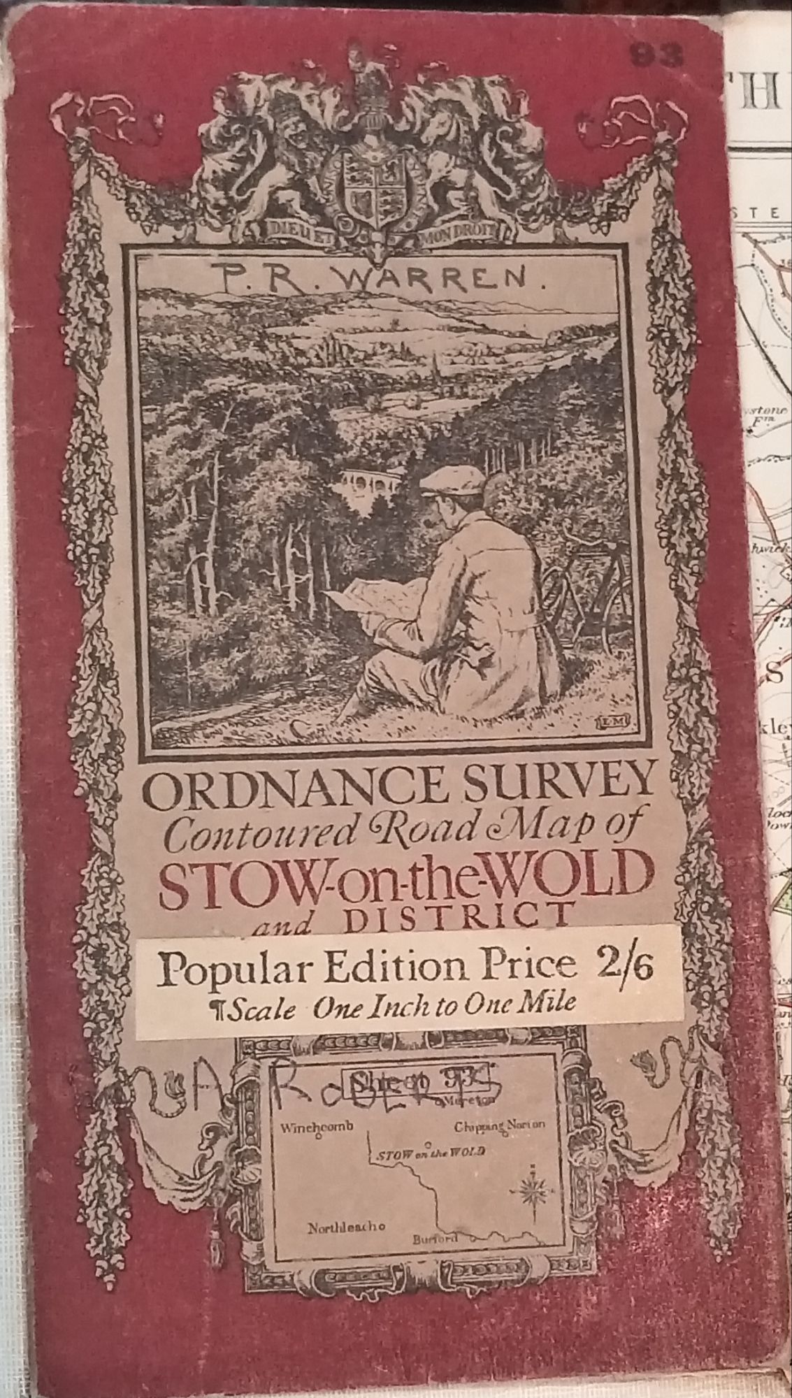
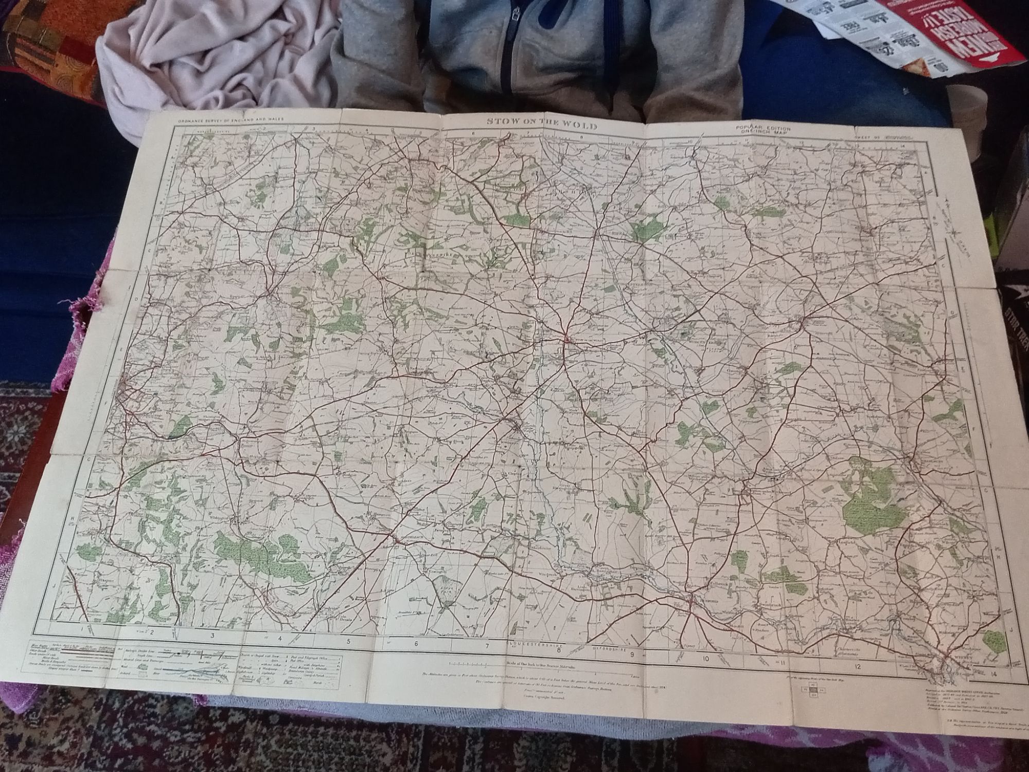
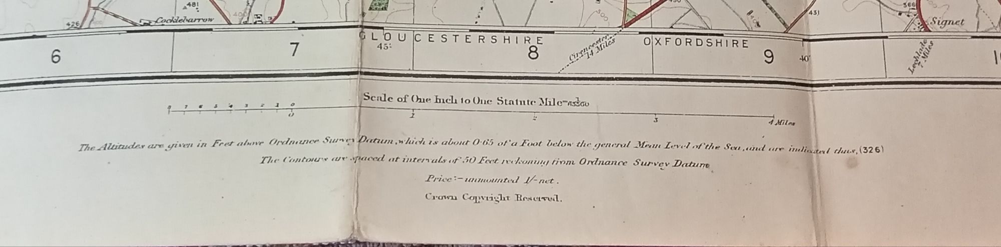
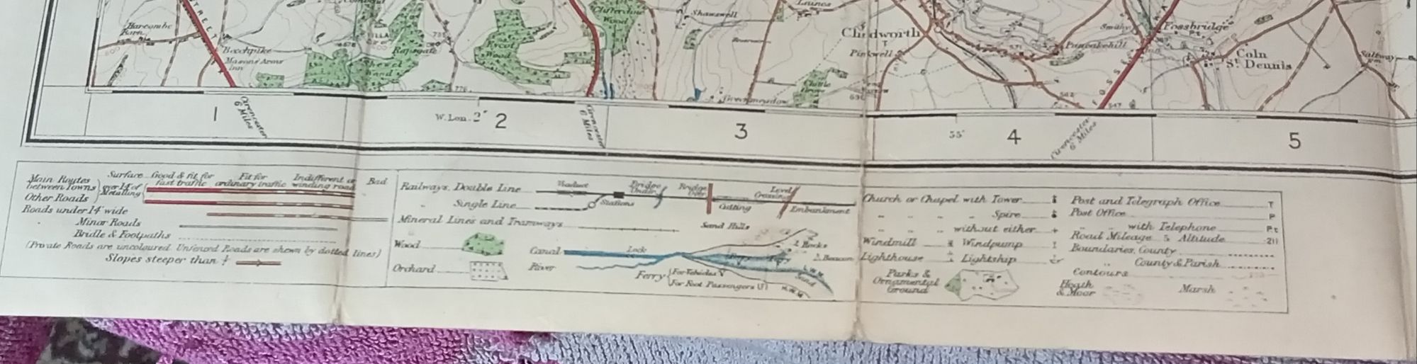
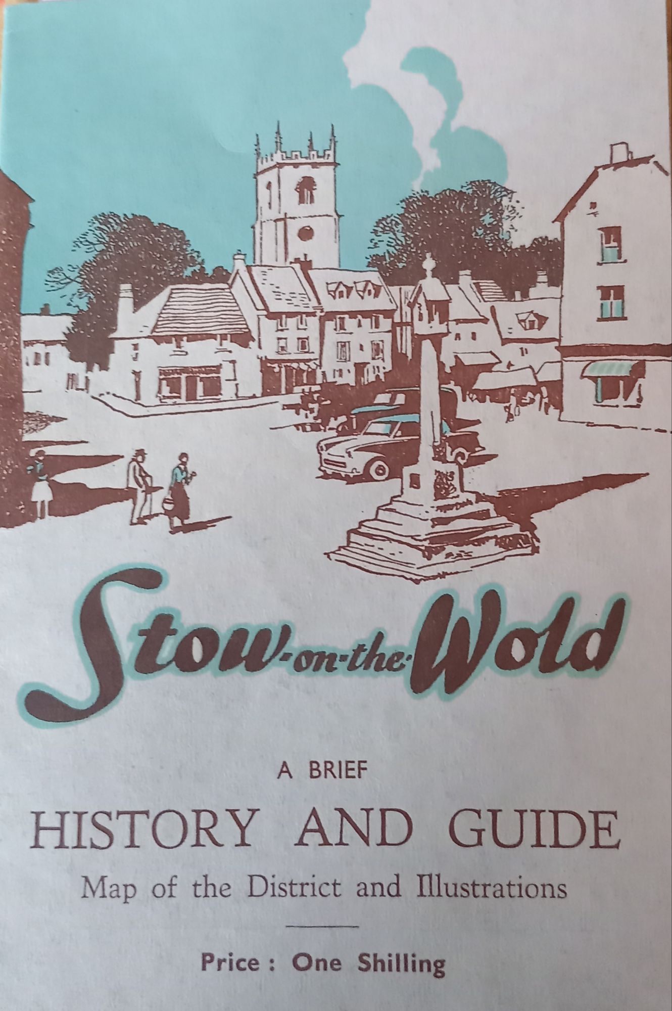
My mother – Diane Wyles – secured the following Local Guide Book for Stow-on-the-Wold which gives the 1955 population for the area as being “1,700” people – and an 1872-1885 Ordnance Survey Map (updated and re-published in 1914 and 1919) carried-out by Colonel Sir Charles Close. The Local Guide Book for Stow-on-the-Wold appears to have been printed in the South Devon seaside town of “Exmouth” in 1962. The “Stow Wells” or “The Wells” is a rectangular stone construction residing to the North-East of the Square. According to the information contained in this publication – this construction is over two-thousand years old and is probably “Celtic” – being pre-Christian and probably pre-Roman – although there is a chance that the invading Romans might have designed and built this device of water transportation and concentration for the nearby settlement (I tend to err toward the Celts as the Romans disappeared for around 90-years after Julius Caesar’s invasions aroud 55 and 54 BCE. Whatever the case, local people gathered their water from this well until late in the 1800s.

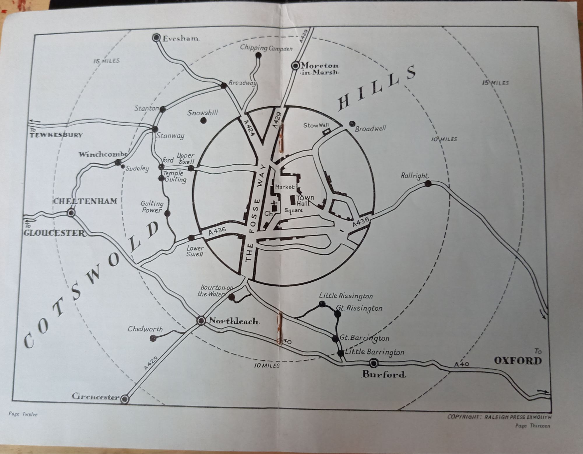

The Ordnance Survey Map for Stow-on-the-Wold is something of an antique (a 1919 version of an 1872 origina) – but interestingly, we cannot locate the “Stow Well” upon it. Perhaps the structure was considered too small at the time – but this explanation seems unlikely. Why would an ancient structure like this be ommitted? After-all, the “Mire Spring” – whatever that is, is included but seems further away than the “Stow Well”. Furthermore, there is no mention of “Well Lane” (where the Stow Well resides) or “Monarch Lane” adjacent to “Well Lane”. This is a curious situation that requires further research: